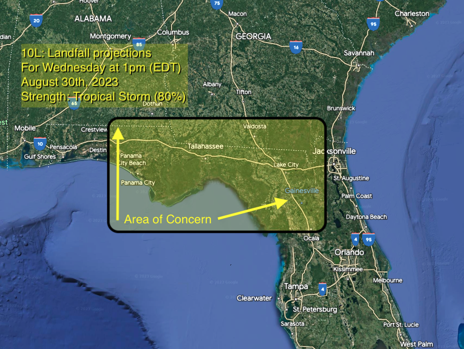
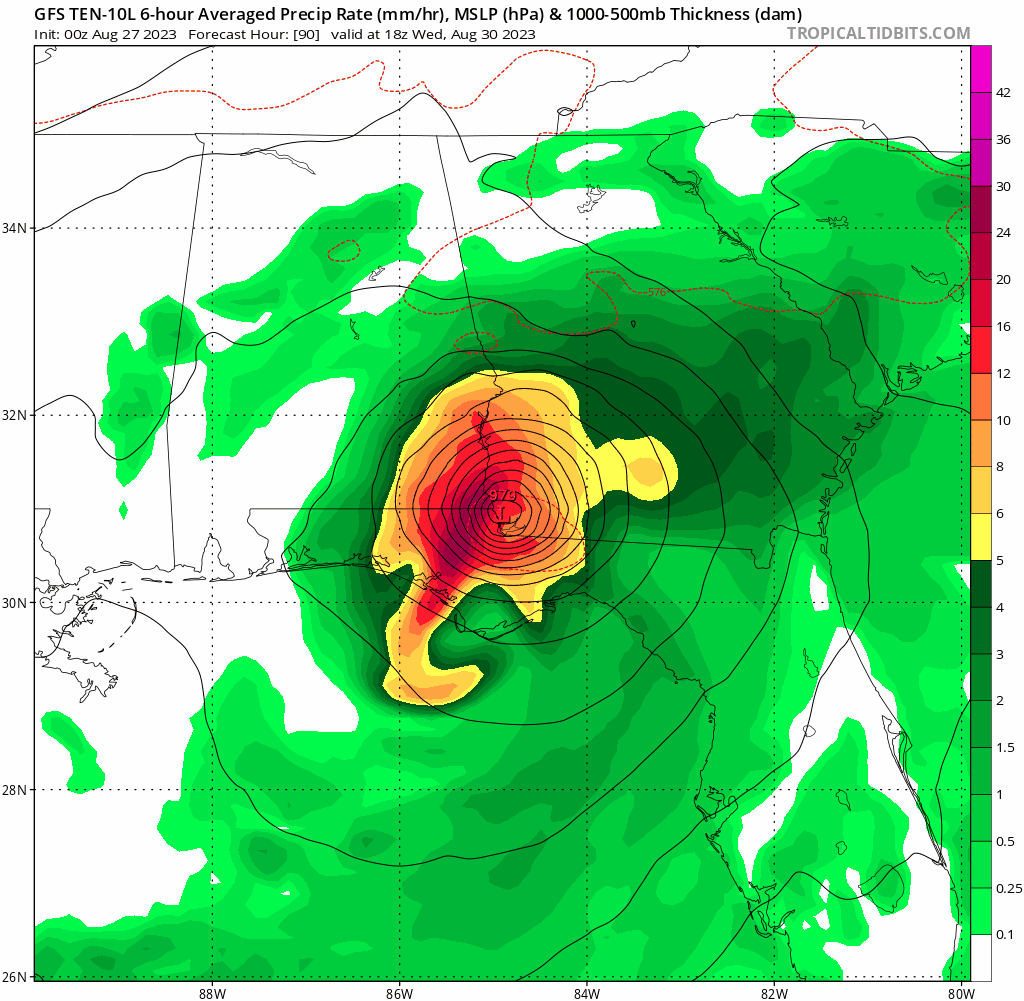
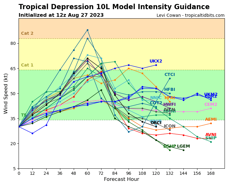
1. The depression is forecast to become a hurricane over the eastern Gulf of Mexico, and there is an increasing risk of life-threatening storm surge, flooding from heavy rainfall, and hurricane-force winds along portions of the west coast of Florida and the Florida Panhandle beginning as early as Tuesday. Although it is too soon to specify the exact location and magnitude of these impacts, residents in these areas should monitor updates to the forecast, have their hurricane plan in place, and follow any advice given by local officials. Storm surge and hurricane watches may be required for portions of the Gulf coast of Florida later today.
2. Heavy rainfall is expected across the eastern Yucatan Peninsula and western Cuba and may produce areas of flash and urban flooding and landslides across western Cuba. The depression is forecast to become a tropical storm later today, and tropical storm conditions are expected over portions of the Yucatan Peninsula and extreme western Cuba with tropical storm conditions possible on the Isle of Youth.
3. Scattered flooding from heavy rainfall is likely over in portions of the southeast U.S. by mid to late week.